NetCDF Submission Guidelines
We will use Globus to share the climate forcing data and receive simulation outputs from participants. Please see the “How to Share” documentation for more information setting up a local Globus endpoint if your Institution’s HPC does not already have Globus. The WrPMIP’s data storage will be administered by a Globus Group where participant emails will be added for access. Northern Arizona University’s supercomputer, named Monsoon, is established as a Globus endpoint:
- Display Name: WrPMIP File Share
- Host Endpoint: NAU HPC Endpoint
- Contact: Jon Wells (Jon.Wells@Nau.edu)
In later stages of the project we will perform QA/QC and publish the final model outputs and climate forcing created by WrPMIP on The Environmental Systems Science Data Infrastructure for a Virtual Ecosystem (ESS-DIVE) data repository. Using the US DOE’s ESS-DIVE repository will ensure that project results are perpetually accessible for the working group and the scientific community.
Requested Model Outputs
With the intention of comparing changes in abiotic and land-atmosphere carbon exchange in areas of warming permafrost we will request a large number of model outputs at high temporal resolution over the 1980-2021 period covering warming experiments in the Pan-Arctic. Based on our experience with the Multi-scale Synthesis and Terrestrial Model Intercomparsion Project (MsTMIP) protocol, we will request the model outputs described below. This list may change as we finalize protocols.
Varible list available through this google sheet (please request access if I haven’t added you already): WrPMIP Model Submission Information
General Formatting Requirements
We request that regional simulation outputs be separated into individual NetCDFs for each variable using NetCDF4 Classic format. Site-level simulations can be a single file based on daily outputs from 14 site locations. Further formatting requirements (largely following ISIMIP Protocols):
- File name: lowercase with identifiers separated by “_”, strings separated by “-“, and ending in “.nc”, including:
- [simulation experiment e.g. WrPMIP-1a]
- [model]
- [model-version]
- [grid in lon x lat e.g. 720×120]
- [time period simulated in years e.g. 1901-1980]
- [timestep e.g. hourly, daily, monthly, yearly]
- [variable of interest e.g. GPP]
- Full example: wrpmip-1a_clm5_version_720x120_1901-1980_monthly_gpp.nc
- Gridtype: lonlat (not generic) – longitude/latitude variable and dimension names as ‘lon’ and ‘lat”
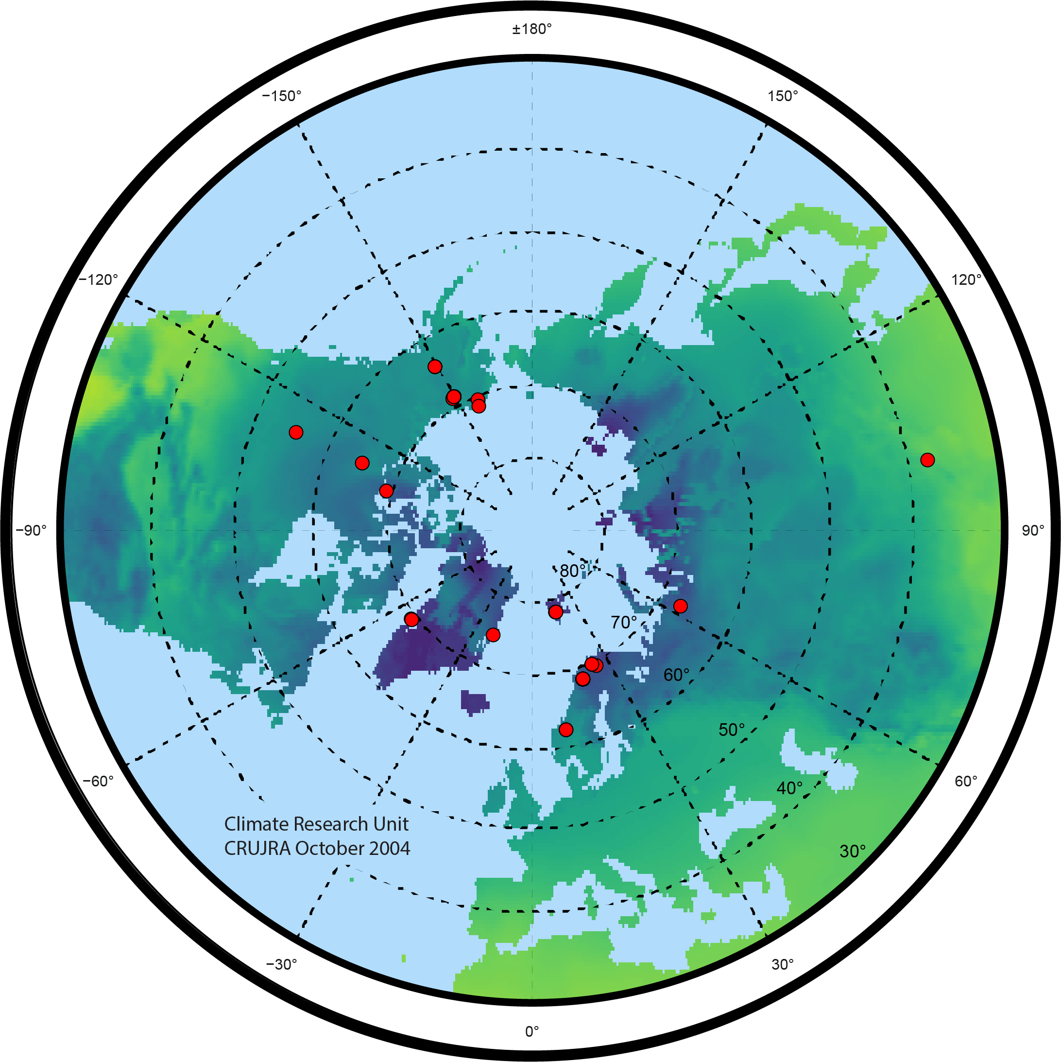
- Grid ranges: 89.75° to 29.75° latitude, and -179.75° to 179.75° longitude:
- This represents a 0.5° grid above 30° North.
- 720 columns will remain constant.
- 120 rows may change if we move the Pan-Arctic cutoff further north.
- Time axis: relative to “1901-01-01 00:00:00” reference date:
- Increment according to temporal resolution e.g. “hours since 1901-01-01 00:00:00”
- Use “365_day”/”noleap” calendar if possible, otherwise specify
- Time resolution reported in first increment of hour/day/month/year:
- Hourly: “1901-01-01 00:00:00”, “1901-01-01 01:00:00″, etc…
- Daily: “1901-01-01 00:00:00”, “1901-01-02 00:00:00″, etc…
- Monthly: “1901-01-01 00:00:00”, “1901-02-01 00:00:00″, etc…
- Yearly: “1901-01-01 00:00:00”, “1902-01-01 00:00:00″, etc…
- NetCDF compression: preferably before submission through Globus to save transfer time and reduce archive space:
- Output as ‘netCDF-4 classic model’
- Change unlimited dimensions to fixed size dimensions
- Deflation level of 5
- Shuffle turned on
- NetCDF’s nccopy example: “nccopy -7 -u -d5 -s input.nc output_compressed.nc”
Dimension/coordinate variables:
| name | standard_name | long_name | unit | axis |
|---|---|---|---|---|
| lon | longitude | Longitude | degrees_east | X |
| lat | latitude | Latitude | degrees_north | Y |
| time | time | Time | [hours/days/months/years] since 1901-01-01 00:00:00 | T |
| depth | depth_below_surface | Depth of Vertical Layer Center Below Surface | m | Z |
Example NetCDF header
dimensions:
   lon = 720 ;
   lat = 360 ;
   time = UNLIMITED ;
variables:
   double lon(lon) ;
       lon:standard_name = "longitude" ;
       lon:long_name = "Longitude" ;
       lon:units = "degrees_east" ;
       lon:axis = "X" ;

   double lat(lat) ;
       lat:standard_name = "latitude" ;
       lat:long_name = "Latitude" ;
       lat:units = "degrees_north" ;
       lat:axis = "Y" ;

   double time(time) ;
       time:standard_name = "time" ;
       lat:long_name = "Time" ;
       time:units = "days since 1901-01-01 00:00:00" ;
       time:calendar = "365_day" ;
       time:axis = "T" ;

   float tas(time, lat, lon) ;
       tas:_FillValue = 1.e+20f ;
       tas:missing_value = 1.e+20f ;
       tas:units = "K" ;
       tas:standard_name = "air_temperature" ;
       tas:long_name = "Near-Surface Air Temperature" ;

// global attributes:
       :contact = "WrPMIP Steering Committee <cschaedel@woodwellclimate.org>";
       :institution = "Northern Arizona University/Woodwell Climate Research Center";
       :comment = "Data prepared for WrPMIP-1a by [preparer] (email)" ;